
| Citation: |
ZHANG Linfan. 2023. Early Identification of Hidden Dangers of Loess Landslide Based on Time Series InSAR: A Case Study of Southwest Bailuyuan. Northwestern Geology, 56(3): 250-257. doi: 10.12401/j.nwg.2023086

|
Early Identification of Hidden Dangers of Loess Landslide Based on Time Series InSAR: A Case Study of Southwest Bailuyuan
-
Abstract
Loess landslide disasters occur frequently and are widely distributed in China. Traditional geological hazard surveys are difficult to effectively identify hidden landslide hazards that are located at high altitudes, have unclear deformation characteristics, and are hidden. This is also one of the main reasons for the low success rate of landslide hazard monitoring and warning. How to effectively identify geological hazard hazards beyond prejudgment is the premise and foundation of geological hazard prevention and control work. Time series InSAR technology has good application potential in this field, but how to better integrate InSAR technology into landslide disaster related research is still in the exploratory stage. The author takes the southwest area of Bailuyuan in Xi’an City as the research area, and on the basis of high−precision 3D oblique photography, ALOS-2 radar image set, and other data, uses time-series InSAR technology to invert 104 areas with obvious surface deformation. By combining the susceptibility index of loess landslides, aerial images, and field verification, 23 loess landslides and hidden dangers were quickly identified, including 20 newly identified landslide hazards and 3 registered landslide disasters. The advantages and effectiveness of the time−series InSAR method detection results were verified through comparison with traditional geological disaster investigation data and on−site investigation verification. A high−precision InSAR and DEM data based early identification method for loess landslide hazards was constructed.
-

-
References
[1] 陈思名. 基于InSAR技术的潜在滑坡早期识别方法研究[D]. 西安: 长安大学, 2022 CHEN Siming. Research on Early Identification Method of Potential Landslides Based on InSAR Technology[D]. Xi’an: Chang’an University, 2022. [2] 廖明生, 王腾. 时间序列InSAR技术与应用[M]. 北京: 科学出版社, 2014 LIAO Mingsheng, WANG Teng. Time Series InSAR Technology and Applications[M]. Beijing: Science Press, 2014. [3] 惠明强. 基于数值模拟的地下水位上升条件下区域性斜坡稳定性研究-以西安白鹿塬为例[D]. 西安: 长安大学, 2020 HUI Mingqiang. Study on the stability of regional slope under the condition of rising groundwater level based on numerical simulation: a case study of Bailuyuan in Xi’an[D]. Xi’an: Chang’an University, 2020. [4] 李宝田, 刘文红. 白鹿塬黄土滑坡发育类型及成因机制研究[J]. 中外公路, 2021(S02): 041 doi: 10.14048/j.issn.1671-2579.2021.S2.009 LI Baotian, LIU Wenhong. Research on the Development Types and Genetic Mechanisms of Loess Landslides in Bailuyuan[J]. Sino Foreign Highway, 2021(S02): 041. doi: 10.14048/j.issn.1671-2579.2021.S2.009 [5] 李萍, 王秉纲, 李同录. 自然类比法在黄土路堑边坡设计中的应用研究[J]. 公路交通科技, 2009, 26(02): 1-5 doi: 10.3969/j.issn.1002-0268.2009.02.001 LI Ping, WANG Binggang, LI Tonglu. Research on the Application of Natural Analogy in the Design of Loess Cutting Slopes[J]. Highway Transportation Technology, 2009, 26(02): 1-5. doi: 10.3969/j.issn.1002-0268.2009.02.001 [6] 彭建兵, 王启耀, 庄建琦等. 黄土高原滑坡灾害形成动力学机制[J]. 地质力学学报, 2020, 26(05): 714-730 doi: 10.12090/j.issn.1006-6616.2020.26.05.059 PENG Jianbing, WANG Qiyao, ZHUANG Jianqi, et al. The dynamic mechanism of landslide disasters in the Loess Plateau[J]. Journal of Geomechanics, 2020, 26(05): 714-730. doi: 10.12090/j.issn.1006-6616.2020.26.05.059 [7] 孙萍萍, 张茂省, 贾俊, 等. 中国西部黄土区地质灾害调查研究进展[J]. 西北地质, 2022, 55(03): 96-107 doi: 10.19751/j.cnki.61-1149/p.2022.03.007 SUN Pingping, ZHANG Maosheng, JIA Jun, et al. Progress in Geological Hazard Investigation and Research in Loess Regions of Western China[J]. Northwest Geology, 2022, 55(03): 96-107. doi: 10.19751/j.cnki.61-1149/p.2022.03.007 [8] 许强, 董秀军, 李为乐. 基于天-空-地一体化的重大地质灾害隐患早期识别与监测预警[J]. 武汉大学学报(信息科学版), 2019, 44(07): 957-966 XU Qiang, DONG Xiujun, LI Weile. Early identification, monitoring and warning of major geological hazard hazards based on the integration of space and earth[J]. Journal of Wuhan University (Information Science Edition), 2019, 44(07): 957-966. [9] 张毅. 基于InSAR技术的地表变形监测与滑坡早期识别研究[D]. 兰州: 兰州大学, 2018 ZHANG Yi. Research on Surface Deformation monitoring and Early Landslide Identification Based on InSAR Technology[D]. Lanzhou: Lanzhou University, 2018. [10] 张路, 廖明生, 董杰, 等. 基于时间序列InSAR分析的西部山区滑坡灾害隐患早期识别——以四川丹巴为例[J]. 武汉大学学报(信息科学版), 2018, 43(12): 2039-2049 ZHANG Lu, LIAO Mingsheng, DONG Jie, et al. Early identification of landslide hazards in western mountainous areas based on time series InSAR analysis: A case study of Danba, Sichuan[J]. Journal of Wuhan University (Information Science Edition), 2018, 43(12): 2039-2049. [11] 周超. 集成时间序列InSAR技术的滑坡早期识别与预测研究[D]. 北京: 中国地质大学, 2018 ZHOU Chao. Research on Early Identification and Prediction of Landslides by Integrating Time Series InSAR Technology[D]. Beijing: China University of Geosciences, 2018. [12] 张林梵, 王佳运, 张茂省, 等. 基于BP神经网络的区域滑坡易发性评价[J]. 西北地质, 2022, 55(02): 260-270 ZHANG Linfan, WANG Jiayun, ZHANG Maosheng, et al. Evaluation of regional landslide susceptibility based on BP neural network[J]. Northwest Geology, 2022, 55(02): 260-270. [13] Agliardi F, Crosta G B, Frattini P, et al. Giant non-catastrophic landslides and the long-term exhumation of the European Alps[J]. Earth & Planetary Sciences Letters, 2013, 365: 263-74. [14] Lin X Y, Zhang L F, Yang Z, et al. Inversion analysis of the shear strength parameters for a high loess slope in the limit state[J]. Journal of Mountain Science, 2021, 18(01): 252-264. doi: 10.1007/s11629-020-6142-z [15] Zhang Z L, Zeng Q M, Jiao J. Deformations monitoring in complicated-surface areas by adaptive distributed Scatterer InSAR combined with land cover: Taking the Jiaju landslide in Danba, China as an example[J]. ISPRS Journal of Photogrammetry and Remote Sensing, 2022, 186. -
Access History

Figures(8)
Tables(2)

Export File
Citation
ZHANG Linfan. 2023. Early Identification of Hidden Dangers of Loess Landslide Based on Time Series InSAR: A Case Study of Southwest Bailuyuan. Northwestern Geology, 56(3): 250-257. doi: 10.12401/j.nwg.2023086
Format
Content
 DownLoad:


-
Figure 1.
Geographical location map of the southwest district of Bailuyuan
-
Figure 2.
Geological profile of Bailuyuan
-
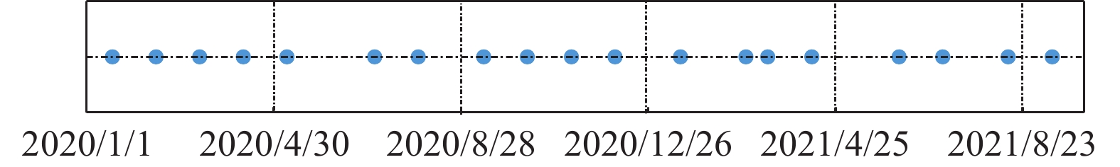
Figure 3.
Time distribution of image acquisition
-
Figure 4.
Topographic deformation rate of the steepest slope in the study area
-
Figure 5.
Hot spot map of surface deformation nucleus density in the study area
-
Figure 6.
Statistics of slope characteristics and distribution ratio of historical landslides in their characteristics
-
Figure 7.
Vulnerability index grade chart
-
Figure 8.
Early identification results of hidden dangers of loess landslide and spatial distribution of historical landslide points