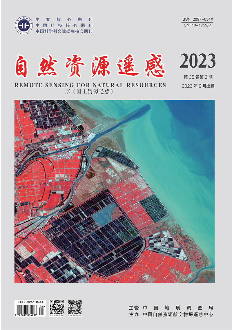
WANG Jianqiang, ZOU Zhaohui, LIU Rongbo, LIU Zhisong. 2023. A method for extracting information on coastal aquacultural ponds from remote sensing images based on a U2-Net deep learning model. Remote Sensing for Natural Resources, 35(3): 17-24. doi: 10.6046/zrzyyg.2022305
| Citation: |
WANG Jianqiang, ZOU Zhaohui, LIU Rongbo, LIU Zhisong. 2023. A method for extracting information on coastal aquacultural ponds from remote sensing images based on a U2-Net deep learning model. Remote Sensing for Natural Resources, 35(3): 17-24. doi: 10.6046/zrzyyg.2022305
|
A method for extracting information on coastal aquacultural ponds from remote sensing images based on a U2-Net deep learning model
-
1. Zhejiang Institute of Hydrogeology and Engineering Geology, Ningbo 315012, China
-
;2. School of Information Engineering, Zhejiang Ocean University, Zhoushan 316022, China
-
;3. Weifang Key Laboratory of Coastal Groundwater and Geological Environmental Protection and Restoration, Weifang 261021, China
More Information
-
Corresponding author:
ZOU Zhaohui
-
Abstract
Conventional information extraction methods for aquacultural ponds frequently yield blurred boundaries and low accuracy due to the effect of different objects with the same spectrum in complex geographical environments of offshore and coastal areas. This study proposed a method for extracting information on coastal aquacultural ponds from remote sensing images based on the U2-Net deep learning model. First, an appropriate band combination method was selected to distinguish aquacultural ponds from other surface features through preprocessing of remote sensing images. Samples were then prepared through visual interpretation. Subsequently, the U2-Net model was trained, and information on coastal aquacultural ponds extracted. Finally, the scopes of aquacultural ponds were determined using the local optimum method. The experimental results show that the method proposed in this study yielded the average overall accuracy of 95.50%, with the average Kappa coefficient, recall, and F-value of 0.91, 91.45%, and 91.01%, respectively. Furthermore, 19 ponds were extracted, with a total area of 9.79 km2. The average accuracies of the number and area of aquacultural ponds were 94.06% and 93.18%, respectively. The method proposed in this study allows for quick and accurate mapping of coastal aquacultural ponds, thus providing technical support for marine resource management and sustainable development.
-

-
-
Access History


 DownLoad: